
ComprehensiveGeospatial Solutions for Modern Mapping
GeoMax Solutions provides end-to-end geospatial data services including road data collection, attribute mapping, change detection, and nationwide field operations. Our advanced mapping technologies help organizations maintain accurate, reliable, and up-to-date geospatial datasets.
Road Data Collection
Field surveys and advanced mapping technologies to capture real-world road conditions, connectivity, and attributes across highways, cities, and rural networks.
Map Attribute Updates
Accurate updates for turn restrictions, speed limits, road classifications, POIs, and other critical mapping attributes to maintain reliable datasets.
Change Detection
Identification of new roads, closures, diversions, construction updates, and infrastructure changes using continuous monitoring and validation processes.
Data Validation & Quality Assurance
Multi-layer quality checks and validation workflows ensure high-accuracy, platform-ready geospatial datasets for navigation and mapping systems.
Pan-India Field Operations
Scalable field operations with trained survey teams covering highways, urban cities, towns, and rural areas across India.
Geospatial Data Processing
Advanced GIS tools and processing workflows to clean, structure, and optimize mapping data for seamless integration with navigation platforms.
Flexible Pricing forFlexible Pricing for
Choose a plan based on your project size, complexity, and execution needs. From small-scale data collection to enterprise-level geospatial operations, we provide scalable solutions.
Starter Plan
₹3,500/hour
Field Data Collection - Best for small-scale surveys and localized data collection.
- Road Data Collection (Basic Level)
- Road Data Collection (Basic Level)
- Initial Data Structuring
- Basic Quality Checks
- Email Support
Standard Plan
₹8,000/hour
Ideal for aerial mapping, inspections, and geospatial analysis.
- Survey & Data Capture
- Image Stitching & Pre-Processing
- Orthomosaic & Mapping Outputs
- Data Accuracy Validation
- Priority Support
*exclusive of applicable taxes
Popular Choice
Premium Plan
₹15,000/hour
Advanced Geospatial Solutions - Designed for high-accuracy and multi-layer geospatial projects.
- Advanced Data Processing & Analysis
- Attribute Mapping & Updates
- Multi-layer QA & Validation
- GIS Integration Support
- Dedicated Project Coordinator
*exclusive of applicable taxes
Enterprise Plan
CustomPricing
Large-Scale Survey & Operations - For city-level, multi-region, and nationwide mapping projects.
- Pan-India Field Operations
- Large-Scale Road Network Mapping
- Dedicated Field Teams & Managers
- Real-Time Project Monitoring
- Custom Data Pipelines & Delivery
- SLA-Based Execution
*exclusive of applicable taxes
Strengthen Map Accuracy withReliable Geospatial Intelligence
GeoMax Solutions helps mapping, navigation, and mobility platforms improve the accuracy of their datasets through road data collection, validation, and attribute updates. Our geospatial services ensure reliable information for smarter routing, better planning, and real-world map precision.
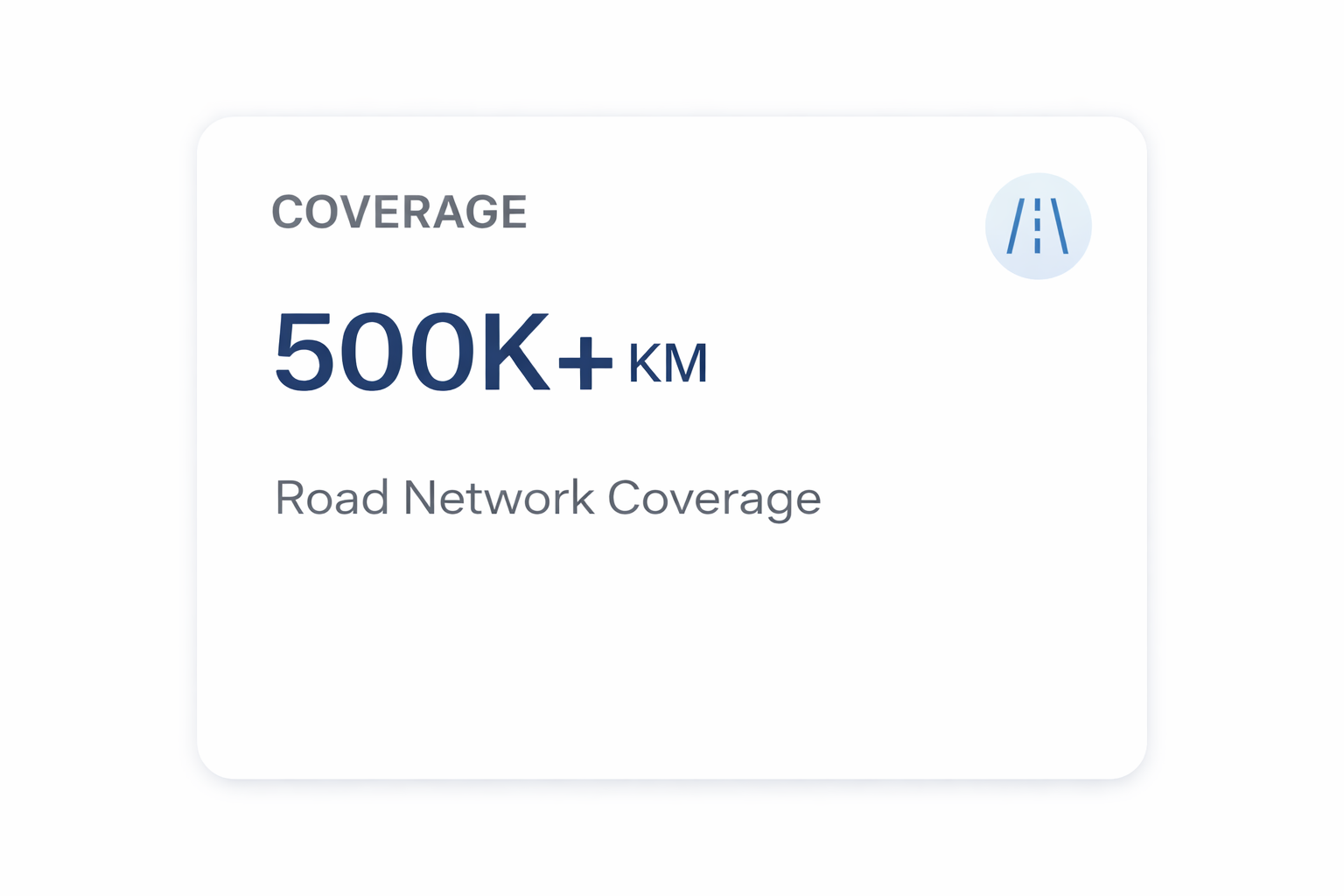
Data Accuracy Rate
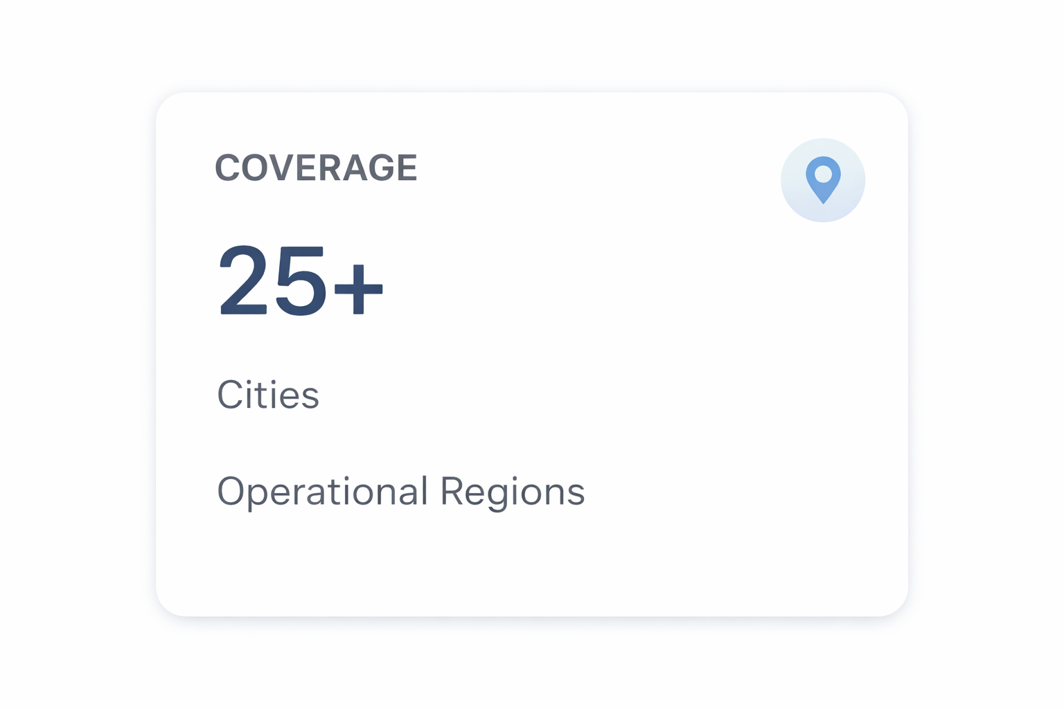
Operational Regions
Trusted by Mapping& Mobility Platforms
Our geospatial data services help global navigation, logistics, and mobility platforms maintain accurate, up-to-date mapping datasets. GeoMax combines field operations, advanced validation workflows, and geospatial intelligence to deliver reliable road network data.
“GeoMax has been instrumental in improving the accuracy of our road network datasets. Their field operations and validation processes consistently deliver reliable mapping updates.”
Product Manager – Navigation Systems
“Their structured approach to road data collection and attribute updates helped us scale our mapping coverage across multiple regions efficiently.”
Geospatial Data Lead
“GeoMax provides high-quality geospatial data with excellent turnaround time. Their teams ensure every update is verified and platform-ready.”
Mapping Operations Director
“The team’s expertise in change detection and data validation significantly improved the reliability of our navigation platform.”
Head of Geospatial Analytics
“GeoMax Solutions consistently delivers high-quality geospatial datasets. Their attention to detail and rigorous validation processes ensure the accuracy required for large-scale mapping platforms.”
Senior GIS Manager – Mobility Solutions
Enhance Your Mapping Data withGeoMax Expertise
Partner with GeoMax Solutions to improve the accuracy and reliability of your geospatial datasets.
Our expert teams provide road data collection, attribute updates, validation, and large-scale field operations to support navigation, mobility, and mapping platforms.