
Driving Accurate MapsThrough Real-World Road Intelligence
GeoMax Solutions captures and validates real-world road conditions to help navigation and mobility platforms stay accurate, reliable, and up-to-date. Our structured field operations and data validation processes ensure consistent map updates across India.
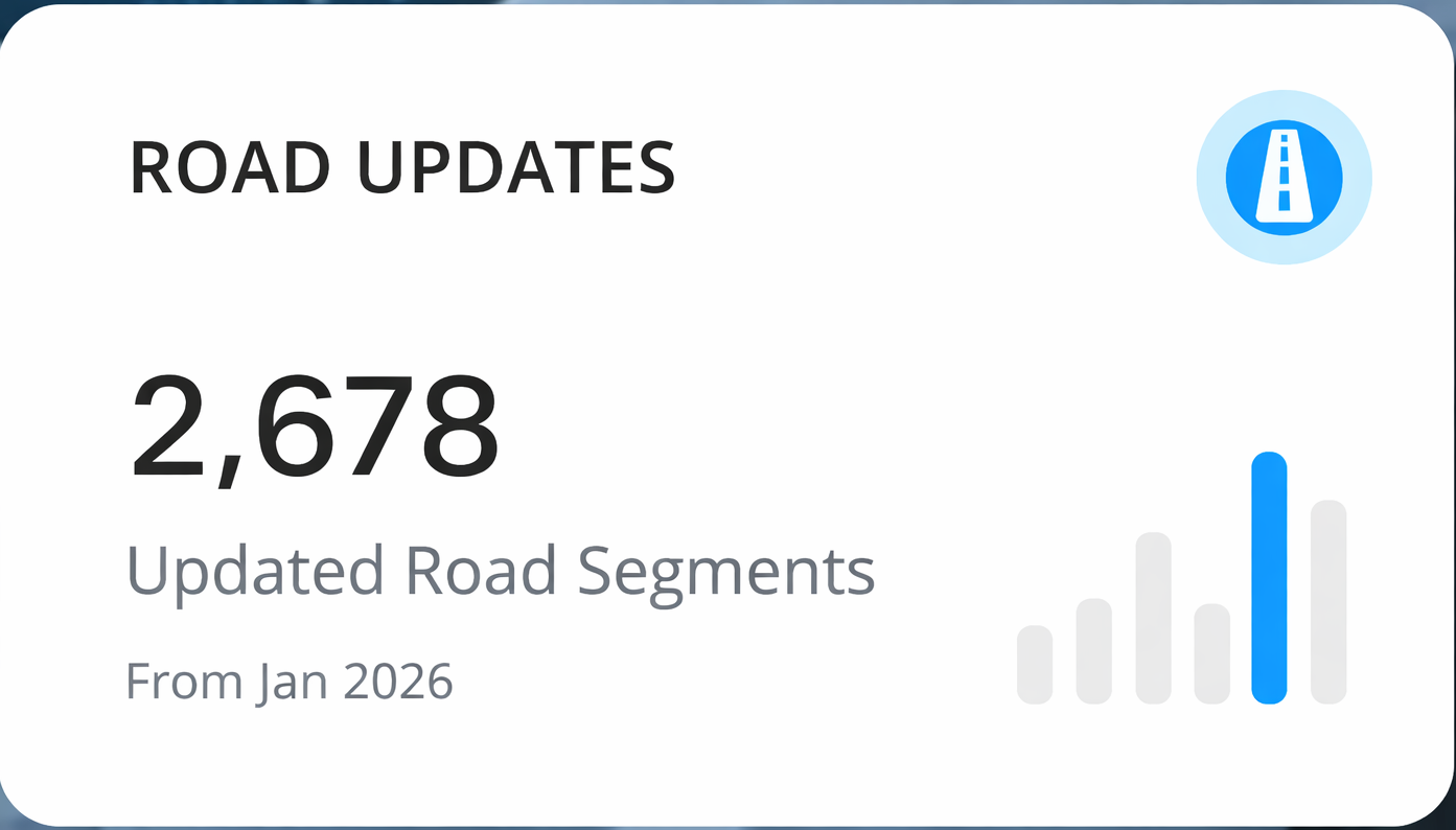
Road KM Surveyed
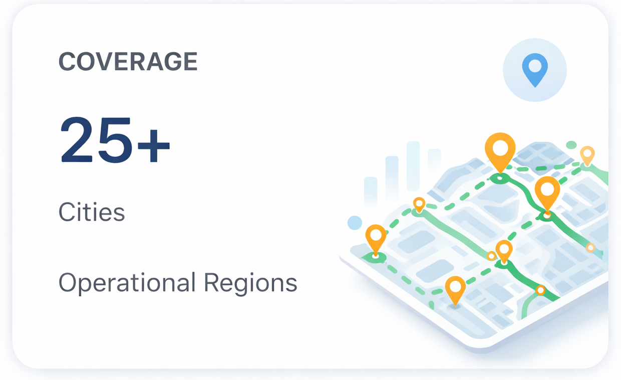
Cities Covered
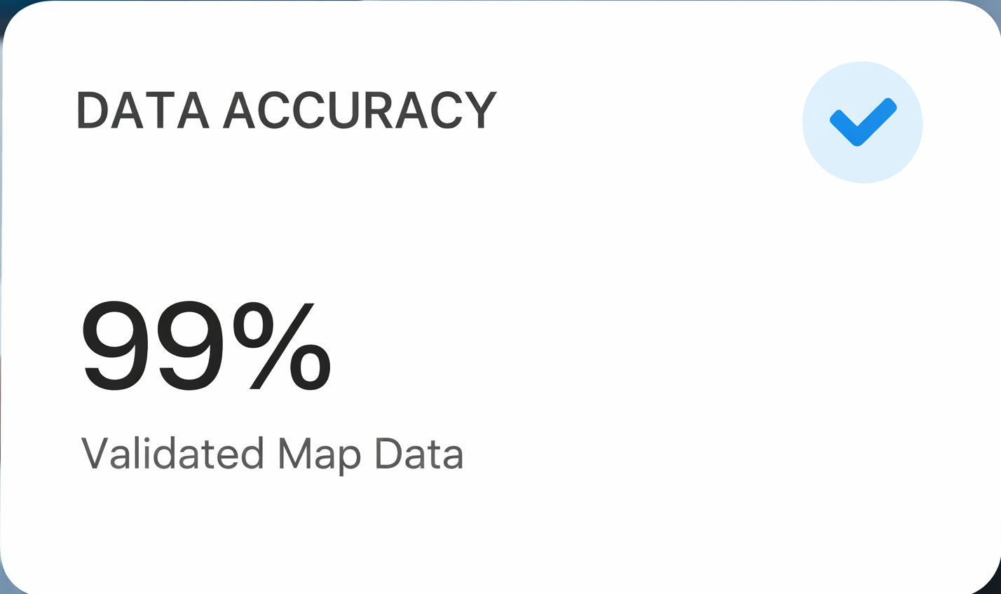
Data Accuracy
Operational Support
Empowering Navigationwith Accurate Road Intelligence
GeoMax Solutions helps digital map and mobility platforms stay reliable by capturing real-world road data and transforming it into accurate, structured datasets. Through disciplined field operations and strong validation processes, we ensure that map systems reflect real-world conditions across India.
Our Vision
To become a trusted partner for global navigation and mapping platforms by delivering high-accuracy road intelligence and scalable field operations across diverse regions.
Our Mission
To collect, verify, and deliver reliable road data that helps digital maps remain accurate, supports smarter mobility solutions, and improves navigation experiences for millions of users.
Meet the Team BehindGeoMax Solutions
Our team brings together field survey experts, GIS specialists, and data analysts dedicated to delivering accurate road intelligence and reliable map updates. With strong operational discipline and technical expertise, GeoMax Solutions ensures high-quality mapping data that supports modern navigation and mobility platforms.
Rahul Verma
Operations Director
Oversees nationwide field survey operations and ensures consistent execution of road data collection projects across multiple regions.
Ankit Sharma
Head of GIS & Data Processing
Leads the processing and validation of mapping datasets, ensuring accuracy and alignment with industry standards.
Priya Mehta
Project Manager
Coordinates mapping projects, manages timelines, and ensures smooth collaboration between field teams and data processing units.
Delivering Reliable Road IntelligenceThrough Proven Processes
GeoMax Solutions follows structured field operations and advanced validation methods to ensure accurate and dependable map data. Our workflow is designed to capture real-world road conditions and transform them into high-quality datasets for navigation and mobility platforms
Our trained survey teams collect real-world road information including road connectivity, attributes, traffic rules, and infrastructure changes using standardized mapping methods.
Every dataset undergoes multiple validation checks to ensure the highest level of accuracy before delivery to mapping platforms.
Our operational model allows us to handle large-scale road data collection projects across multiple regions with efficiency and consistency.

Power Smarter Maps withAccurate Road Intelligence
GeoMax Solutions helps mapping and navigation platforms stay reliable through real-world road data collection, validation, and updates across multiple regions. Partner with us to keep your map systems accurate and future-ready.